Population
247,263
Stats SA source ↗
Visited · 15–16 October 2026
Economic drivers, mineral-resource context and ESG evidence for Vryheid and its wider area.
Geographic boundary: Vryheid place profile. Municipal evidence covers the wider AbaQulusi Local Municipality; it must not be treated as a town-only measurement.
Published 2026-10-26 · Research updated 2026-10-26
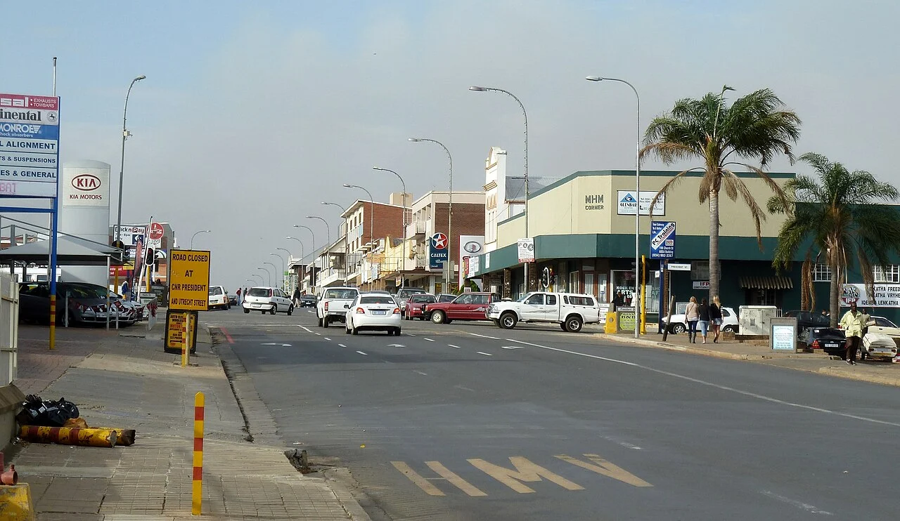
Vryheid is a service centre in the AbaQulusi area, where coal mining has historically influenced the economy. Agriculture and tourism broaden the economic base. The municipal IDP places mining and agricultural activity within a regional development agenda rather than reducing the town to a single commodity.
Coal is a regional and historical economic connection. Individual mines, production status and output require operation-specific records.
Explore local supply, responsible resource recovery and water or energy services that support economic diversification.
Embo Sotho Resources’ development interpretation; opportunities require project-specific assessment.
AbaQulusi IDP 2024/25 ↗
AbaQulusi Local Municipality / National Treasury repository
Read with the dated operational and census references below. Regional resource descriptions are not reserve estimates or a register of all currently operating mines.
Vryheid · Sources retain their original period and geographic boundary. Compare municipal context →
Whole municipal area, not the town. Source report PDF pages 9 and 31.
247,263
Stats SA source ↗54.0%
Stats SA source ↗54.2%
Stats SA source ↗76.8%
Stats SA source ↗90.3%
Stats SA source ↗Historical main-place boundary, not a current estimate or the whole municipality. Do not infer change by comparing this with the municipal figures above.
Municipal service-access indicators provide the quantitative context for this report. Environmental monitoring and site-specific findings are assessed separately under the methodology and source coverage.
Governance: the AGSA 2024/25 report series was checked. No individual municipal audit opinion is assigned here without a verified municipal audit record.
Statistics South Africa · Census 2022; publication 2023, revised edition · Municipality; 2021-aligned boundaries · Accessed 26 October 2026
Stats SA is the original source. Table selection and presentation are Embo Sotho Resources’ independent processing. Municipal averages are not town measurements. Piped water on site includes inside the dwelling and in the yard.
Auditor-General South Africa · FY ended 30 June 2025; tabled 24 June 2026 · National / provincial / metropolitan summary · Accessed 26 October 2026
Context for the latest report series checked. This release does not assign municipal audit opinions without a verified individual municipal record.
These independently maintained notes may pre-date the research edition above. Their own review date applies.
The first release establishes the evidence register. A town-specific inventory of employers, local suppliers, employment and economic dependence has not yet been compiled. Municipal planning documents provide wider context; they do not establish town-level employment figures.
Town-level baselines for ambient air quality, water quality, land disturbance and residual material streams have not yet been established in this profile. No environmental condition or attribution to a particular operator is inferred from the existence of industrial activity.
Population, service access, health, education and local participation need dated evidence at the correct geographic scale. No municipal average is presented here as a town measurement.
The source register provides geographic or municipal context for Vryheid. Municipal boundaries, responsible authorities, planning documents and reporting periods must be checked before adding performance indicators.
Assess potential water reuse, responsible material recovery, process-energy integration, local supply and skills needs only after confirming local demand, source authority and ESG constraints. These are research directions, not approved projects. No commercial project relationship is recorded in this baseline profile.
Potential areas for assessment; these are not funded or approved projects.
Discuss a local opportunity →Visit recorded from the Embo Sotho team’s account. Visit dates, field notes, photographs and measurements have not been entered. This is not an environmental inspection or a completed ESG assessment. Baseline profile added on 26 October 2026; quantitative outcomes remain to be established.
Not yet established
Town · Period not established
A dated, geographically appropriate source and measurement method are still required.
Not yet established
Town · Period not established
A dated, geographically appropriate source and measurement method are still required.
Not yet established
Town · Period not established
A dated, geographically appropriate source and measurement method are still required.
Not yet established
Town · Period not established
A dated, geographically appropriate source and measurement method are still required.
Not yet established
Town · Period not established
A dated, geographically appropriate source and measurement method are still required.
AbaQulusi Local Municipality · Undated geographic/directory page; not a current performance assessment · Local municipality
Source supports geographic or administrative context only. No employment, pollution, water-quality or rehabilitation results are inferred. Town-specific current data remains to be collected.
Accessed 2026-10-26
Send a correction or a source with its date and geographic coverage. Community accounts are reviewed separately from measured or official findings. Please avoid sending personal or sensitive details.
Suggest a correction →